Key Takeaways
- Bridge clearance is one of the most important numbers a boater can know: it sets whether your boat can reach the open water or the marinas on the other side of a bridge.
- The Atlantic Intracoastal Waterway through Palm Beach County is crossed mainly by movable drawbridges, and their closed-position clearances range from roughly 21 to 35 feet at most locations.
- Your boat's air draft, the height from the waterline to its highest point, must fit under every bridge on your route with room to spare, including antennas and outriggers.
- Charted clearances are measured above mean high water, so tides matter: at normal water levels you usually have a little more room, and during unusually high water you have less.
- Anyone shopping for a home with a dock should verify clearance, water depth, and the drawbridge schedule before making an offer, not after.
Fixed bridge clearance in Palm Beach County is one of those details that quietly decides whether a waterfront home actually works for you. If your boat's height fits under every bridge on the route to open water, you gain easy access to the Intracoastal, the ocean, and the marinas beyond. If it does not, the home can feel like a cage, no matter how beautiful the dock. This guide explains air draft, the bridges that cross the waterway, how tides change your numbers, and how to verify everything before you make an offer.
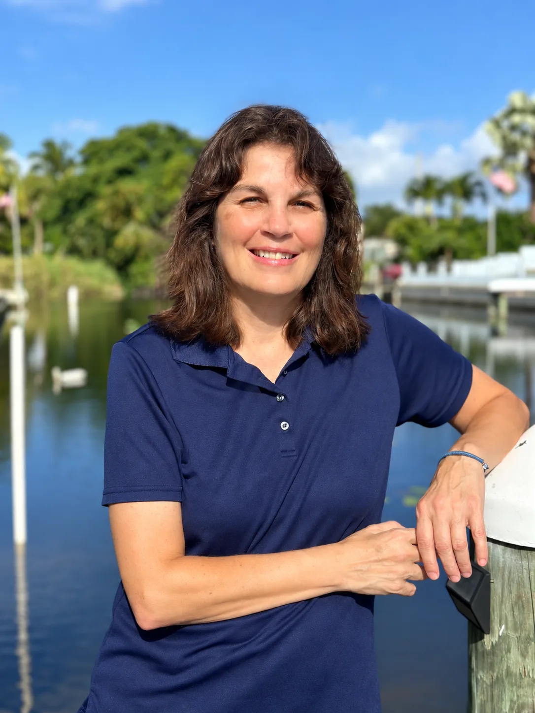
I'm Rhonda Townsend, a REALTOR® with United Realty Group serving Wellington, West Palm Beach, Lake Clarke Shores, and surrounding communities. I have boating experience myself, which is why I always walk waterfront buyers through the practical questions: clearance, depth, seawalls, and what the water route actually looks like. Consider this article an evergreen primer, built from federal navigational guides and the county's bridge information, so you enter your waterfront search with the right questions.
Why Do Fixed Bridges and Boat Clearance Matter for Waterfront Buyers?
A home with a dock only gives you the lifestyle you are paying for if you can actually get your boat to open water. A fixed bridge, one that never opens, sets a permanent height limit below its lowest beam. Your boat's air draft, the height from the waterline to its highest point, must clear that limit on every bridge between your dock and your destination.
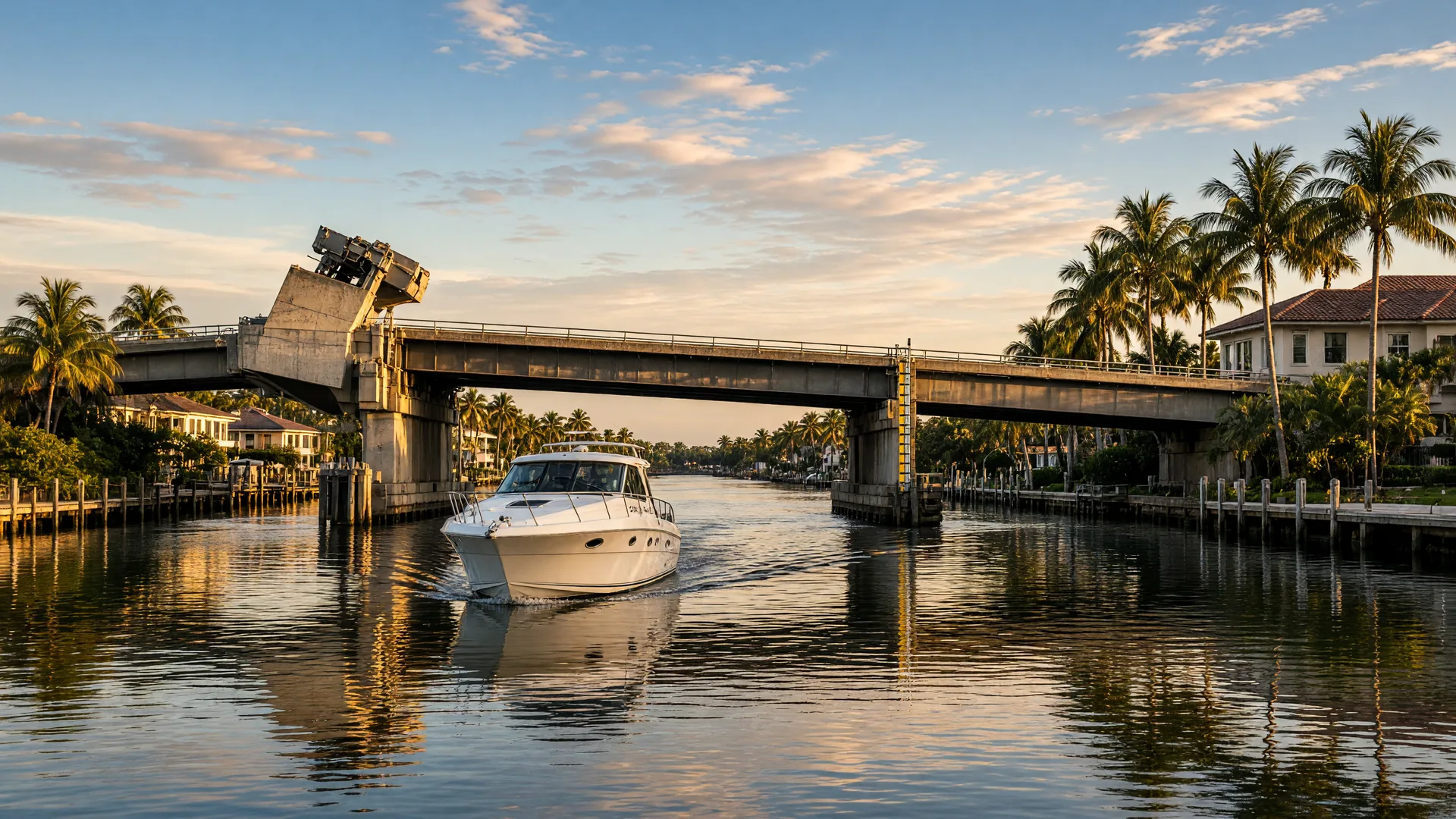
On the Atlantic Intracoastal Waterway through Palm Beach County, the story is a little friendlier: the corridor is crossed mainly by movable drawbridges instead of fixed spans. A drawbridge opens on a schedule, so the real numbers are its closed-position clearance and its opening schedule. That is the difference between a 21-foot span that makes you call the bridge tender, and a clearance that lets you cruise straight through.
As a benchmark, fixed bridges over the Florida section of the Intracoastal Waterway are built to a standard clearance of about 65 feet above mean high water, per the NOAA Coast Pilot. Drawbridges sit lower when closed, which is why knowing your route matters. For a closer look at the wider picture, my guide to Intracoastal waterfront homes covers seawalls, docks, flood zones, and insurance alongside clearance.
What Is Air Draft and How Do You Measure Your Boat?
Air draft is the vertical height of your boat above the waterline. To get it right, measure from the waterline, not the deck, up to the highest fixed point. That usually means the top of a hardtop or bimini frame, the tip of a VHF or radar antenna, a mast, outriggers, or anything else that sticks up. A flexible antenna may bend a little, but a rigid mount will not, so plan your margin as if nothing moves.
- Measure with the boat loaded as you normally use it. A heavily loaded boat sits lower in the water, which lowers air draft slightly, but fuel, coolers, and gear also count toward the real-world number.
- Write down the clearance you need for each route. Your dock to the inlet, and your dock to the nearest marina, are two different trips with potentially different bridges.
- Add a safety margin. Waves, wake, wind, and water level all move the boat relative to the bridge. A few feet of margin is cheap insurance.
If a sailboat is part of the plan, air draft is the first conversation we have, because a mast changes everything about where you can live on the water. Jupiter, with its river and inlet access, has its own set of bridge and clearance considerations, covered in my Jupiter boating communities guide.
Which Bridges Cross the Waterway in Palm Beach County?
The bridges you will actually cross depend on where your dock is. Going north to south along the county's section of the Intracoastal, the span closest to you is the one that matters, and closed clearances vary considerably:
- Jupiter area: the Jupiter US-1 bridge clears around 26 feet when closed and generally opens on demand, which suits many powerboats without an opening.
- North Palm Beach: the Donald Ross Road bridge opens at scheduled times, so it pays to check the hour and half-hour schedule.
- West Palm Beach: the PGA Boulevard bridge clears about 24.9 feet closed, while the Flagler Memorial bridge sits around 25 feet and has weekday rush-hour restrictions on openings. The Royal Park (SR 704) bridge is tighter, near 21 feet closed.
- Lake Worth: the Lake Avenue (SR 802) bridge offers a more generous 35 feet closed and opens on demand.
- Lantana: the East Ocean Avenue bridge clears roughly 20 to 21 feet closed and opens at scheduled times.
These figures are published so you can compare them directly with your air draft, and they change over time as bridges are rebuilt. The Palm Beach County Engineering and Public Works bridge section publishes the official openings schedule, and the Coast Guard's regulations in 33 CFR Part 117 set the federal rules for every span on the waterway. Confirm the current numbers before you commit to a route.
How Do Drawbridge Schedules Affect Your Boating Day?
A drawbridge is only as good as its schedule. Some Palm Beach County bridges open on demand, while others open only at set times, commonly on the hour and half hour or on the quarter and three-quarter hour. A few West Palm Beach spans restrict openings during weekday rush hours, so a boater heading out at 8:00 a.m. may wait until the window closes.
For a full-time boater these schedules become part of daily life, like checking the tide table. For a weekend boater they mostly matter when a sailboat or a tall flybridge needs an opening. Either way, the question belongs in the due diligence list before you buy, not after. If you are comparing communities, my Jupiter community guide and the waterfront homes overview are good starting points for understanding how the water shapes each area.
How Do Tides Change Your Actual Clearance?
Charted bridge clearances are measured above mean high water, the average of the highest daily tides. Because the Intracoastal in this area is open to the ocean at inlets, water levels rise and fall with the tide, and that changes the space under every bridge.
At normal tides, the water level usually sits below mean high water, which means you often have a little more clearance than the charted number, not less. During unusually high water, such as a king tide, a storm surge, or a strong onshore wind piling water into the lagoon, the space under a bridge shrinks. The reverse happens at low tide: more room above, but less depth below, which matters equally for a deep-draft boat at a shallow dock.
The practical habit is simple: think in terms of clearance at mean high water and depth at mean low water. Those are the two conservative numbers that keep a boat out of trouble in both directions. If you are new to the water, my guide to seawalls, docks, and water access explains the rest of the due diligence, and an experienced agent or marine surveyor can walk it through with you in person.
How Do You Verify Bridge Clearance Before Making an Offer?
Verification is a short list of checks that belongs in the inspection period:
- Confirm your boat's air draft. Measure from the waterline to the highest fixed point with the antenna straight up.
- Chart the route. List every bridge between your prospective dock and the open water, then check each one's closed clearance and opening schedule.
- Use authoritative sources. The NOAA Coast Pilot and nautical charts give charted clearances; the county's bridge section and the Coast Guard rules give schedules.
- Visit the water. Look at the bridge, the clearance gauge, and the depth at your dock at low tide. Talk to a boating neighbor or the marina staff nearby.
- Write the margin into your search. If a channel has a 21-foot bridge and your boat needs 20 feet, that is too tight for comfort. Leave real room.
If you already own a boat, send me the make and model, and I can steer you toward the communities where your boat will actually live well. If you are buying your first boat along with your first waterfront home, we will sort out air draft first so you buy the right home, the right dock, and the right boat together. When you are ready to talk, I am a phone call away at (561) 236-9772.
Ready to Find a Home That Fits Your Boat?
Bridge clearance, dock depth, and water access are the details that separate a great waterfront property from a frustrating one. I know the questions to ask about air draft, drawbridge schedules, and tidal access because I have guided many waterfront buyers through them. Call (561) 236-9772 or schedule a conversation, no pressure.
Rhonda Townsend, REALTOR® · A.I. Certified Agent™ · United Realty Group
(561) 236-9772 ·
rtownsendrealestate@gmail.com
Frequently Asked Questions
Sources
Sources referenced in this article:
- • NOAA U.S. Coast Pilot 4, Chapter 12 — Federal navigational information on Intracoastal Waterway bridge clearances
- • Palm Beach County Engineering and Public Works, Bridge Section — County drawbridge openings schedule and bridge information
- • U.S. Coast Guard, 33 CFR Part 117.261 — Federal drawbridge operation regulations for the Atlantic Intracoastal Waterway
- • Federal Register — Drawbridge operation rule for the West Palm Beach section of the Intracoastal
Disclaimer: This article is provided for general educational and real estate information only. Water access, depth, bridge clearance, dockage, flood information, insurance requirements, and boating suitability vary by property and should be independently verified. Consult qualified professionals regarding your individual circumstances.